
Manheim Township Neighbors Records by Block
A block-level search has a limited, useful scope. LanCo View supplies parcel layout, roads, aerial imagery, acreage, dimensions, and deed references. The assessment system supplies site and owner fields for a selected parcel. Recorder indexes add recorded transfer parties and dates. Each source has a different purpose. A parcel boundary does not create a list of households, and a listed owner should not be assumed to be a current occupant.
| Block source | What it can show | Access and limit |
|---|---|---|
| LanCo View | Parcel layout, roads, imagery, acreage, dimensions, and deed reference | Free map; no verified live adjacent-parcel command in the reviewed material |
| Lancaster County wEdge | Owner and site data for a selected parcel; street and number-range filters | Free; owner is not a complete household |
| Recorder deed index | Recorded ownership transitions for a selected parcel | Historic index covers 1729–1980; party and time based |
| Voter Street List | Statutory election-list fields | $20 electronic request; controlled use and no internet publication |
| Township civic resources | Organizations and public services | Not a private neighbor or association roster |
The proper question is therefore narrow: what does the official map or parcel record show about this selected parcel and the parcels physically around it? For a whole named street, use the separate Manheim Township by-street directory rather than stretching an immediate-block method into a streetwide people list.
Note: Parcel layout and recorded ownership establish land-record context, not a complete or current household roster.
Map a Manheim Township Block
LanCo View 2.0 is Lancaster County’s free public parcel-information application. The County describes it as an interactive map for parcels, roads, and aerial imagery, with acreage, dimensions, and deed reference among the advertised parcel information. Its public guidance supports property searching, map pan and zoom, parcel selection, layers, base maps, measuring, printing, and links to assessment and Recorder systems. The live source reviewed did not expose an exact buffer, neighbor, or contiguous-parcel button. Do not claim such a command exists until it is verified in the live viewer.
Lancaster County GIS describes the LanCo View route and its public map functions.
Map controls should be used to understand the block’s geometry. Toggle layers and base maps through the table of contents, then use the measure function to understand distances or frontage. The County notes that its applications may be unavailable during Sunday maintenance from 7 a.m. to noon. LanCo View PLUS is a separate paid subscription with additional parcel and zoning functions listed at $100 for 2026, but the published description does not establish a ZIP search or a neighbor-selection function.
Follow Manheim Township Parcels by Block
The map-led flow stays accurate because it does not leap from a street name to a presumed household. A wEdge assessment result should be read as a county assessment record. It can provide parcel or account number, owner name, site address, Township/Municipality, property class or land-use category, sale-related filters, and structure data. The County warns that data updates can lag. An owner mailing field, if displayed, must be labeled as an assessment correspondence address rather than a current residence.
- Locate the target site in LanCo View by an address, parcel or account number, or map navigation.
- Pan and zoom to the surrounding mapped parcels, keeping only parcels actually visible in the review area.
- Open each selected parcel’s assessment entry and compare the site address, parcel number, municipality, and listed owner field.
- Use a deed reference for a specific recorded-transfer question, recording both deed and recording dates with the parties and legal description.
- Stop when the immediate parcel pattern is clear. Do not convert the results into a claim about everyone living on the block.
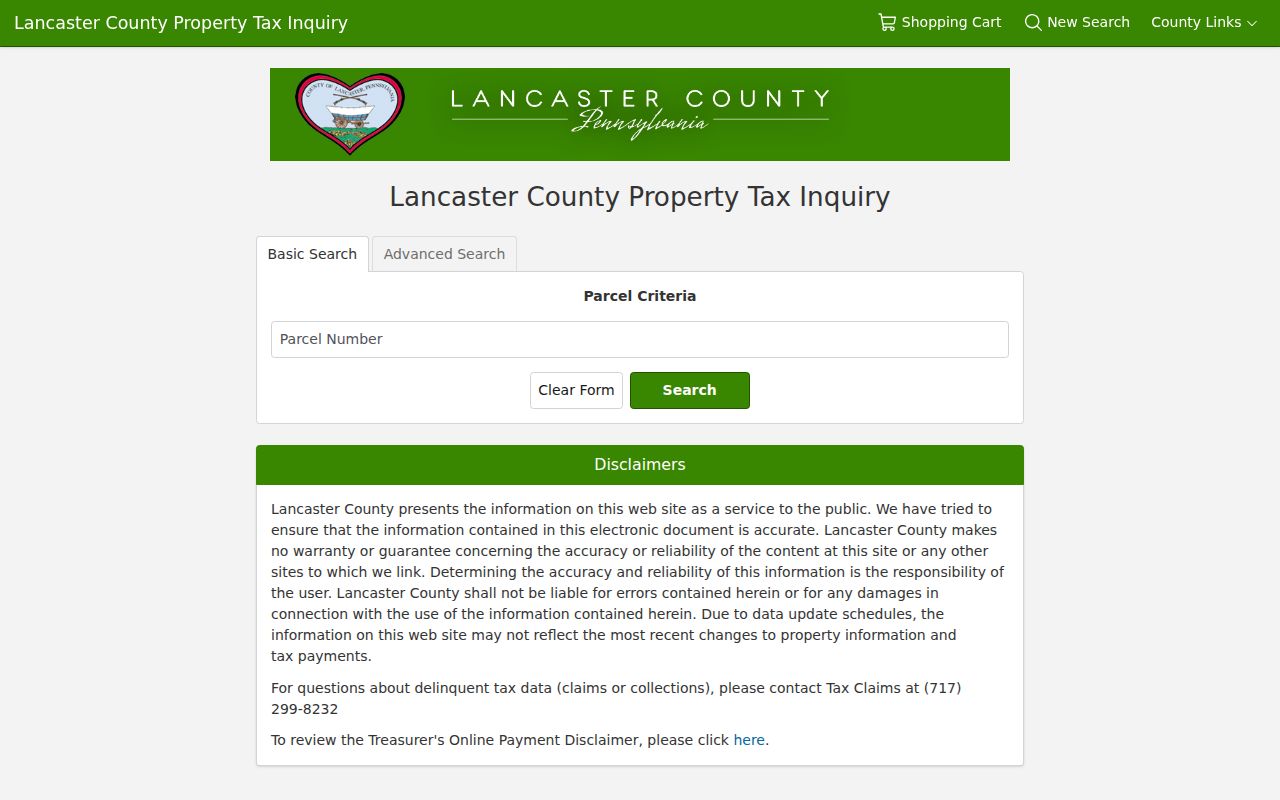
Lancaster County Property Tax Inquiry is the assessment route used to check the selected parcel details.
Recorded Owners Around Manheim Township Neighbors
A recorded owner is not an assumed household member. It is a party in an official land record, and the record needs its own date and property context. The parcel’s deed reference is the bridge from assessment to Recorder records. Preserve the grantor, grantee, book and page, date executed, date recorded, and legal or property description. If an older deed uses a tract, lot, acreage, adjoining owner, or road description instead of a current street number, use that legal description and a historic map rather than forcing a modern address match.
Lancaster County’s historic grantor and grantee index series covers 1729–1980. Indexing is party and time based, so a name may be the route back to an earlier document. Historic spelling variants matter because the Archives cautions that clerks recorded names as they understood them. That is a reason to compare carefully, not a reason to merge uncertain names. The county’s first recorded deed dates to 1729, which gives local land research unusual depth without producing a current-resident roster.
Note: A deed chain documents recorded land transfers and should be kept separate from claims about present-day household membership.
Manheim Township Neighbors Official Records
Official county sources identify the field they maintain and the date or parcel to which it applies. Commercial neighbor-search tools combine material from different sources and can carry stale or misattributed entries. For an address question, a parcel map, assessment entry, and recorded deed each offer a defined record trail. That traceability is more useful than a broad, unverified list.
| Official record route | Commercial neighbor-search category |
|---|---|
| Names the custodian, record type, parcel or docket reference, and limits. | May combine unrelated sources with uncertain update dates and matching logic. |
| Supports a specific correction request to the office that maintains the field. | Does not replace correction through the public-record custodian. |
| Can show a mapped parcel or recorded party with source context. | Should not be treated as proof of household membership or current presence. |
Use the official source that matches the question, then preserve the reference and date. A county field that is wrong should be corrected at the county office, not repeated elsewhere.
Manheim Township Neighbors Civic Directory
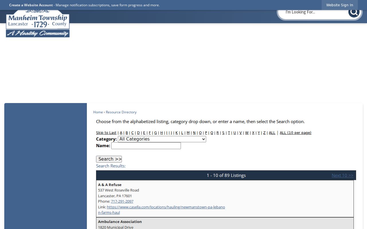
The verified local organization route is the Township’s Resource Directory. Its accessible interface has an alphabet filter, category dropdown, name field, and Search control. The reviewed page showed 89 resource entries, including public facilities, fire and ambulance contacts, schools, and service organizations. This is a useful civic directory when the goal is to locate a public office or community service. It is not an association membership list, a private contact roster, or a way to identify residents.
Manheim Township’s Resource Directory is the source for the public organization search controls shown below.
Resource Directory
Public and community organizations can be filtered by letter, category, or name. Use it for a listed service or office.
Connections Advisory Committee
This township citizen body focuses on pathways linking schools, parks, neighborhoods, and destinations. Its public members are civic contacts.
Board and Staff Directories
The Board of Commissioners and Staff Directory identify official township contacts, not private neighborhood lists.
No township umbrella neighborhood-association directory, association roster, or verified public neighborhood contact directory was found in the reviewed official sources. That gap should remain explicit instead of being filled with invented groups.
Manheim Township Neighbors Public Records Requests
An address-specific municipal record may sometimes be requested through the Township’s Right-to-Know process, but a focused request is necessary. Identify the record type, address, and time frame. Pennsylvania’s Right-to-Know Law gives an agency five business days for an ordinary response. An interim response may extend the final response by up to 30 calendar days from the end of that five-day period and must state the reason, estimated fees, and expected response date. Prepayment may be requested when estimated fees exceed $100.
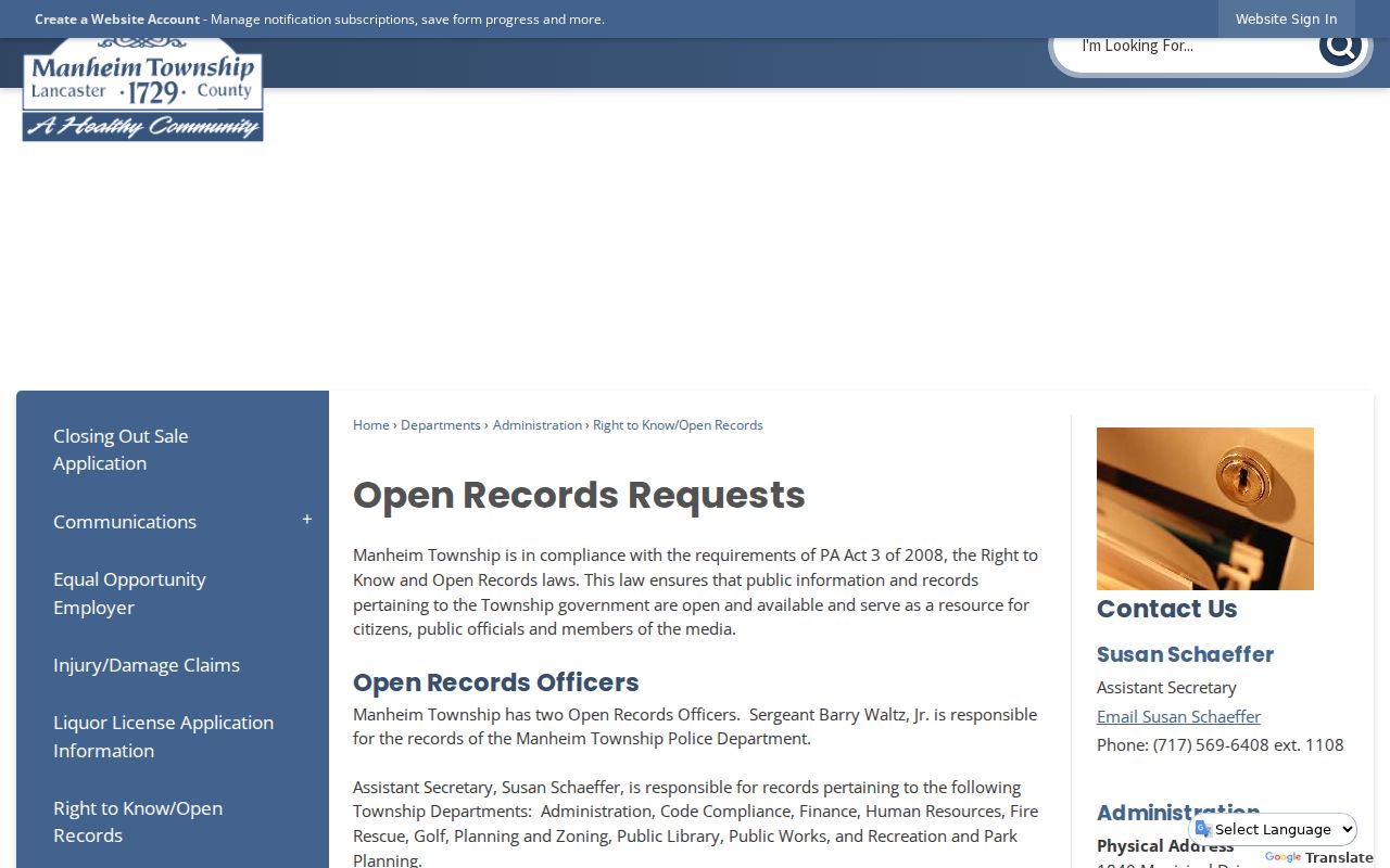
Manheim Township’s Right-to-Know and Open Records route provides the public-request information.
The RTKL does not override every limitation. Township building plans and applications have a verified-owner, permit professional, or authorized-person restriction. A record containing public and nonpublic material may be redacted. Ask for the document or record type that the agency actually maintains, rather than using a request to obtain a private resident list.
Election Records for Manheim Township Neighbors
Pennsylvania’s individual registration-status route and its statutory list system serve different purposes. The individual service is a personal status path and the accessible official material did not expose the live form fields. A Street List is requested from the Department of State under 25 Pa.C.S. §§ 1403–1404. It includes name, residential and mailing addresses, party, and active or inactive status. The $20 electronic county list requires a signed affirmation and may not be published on the internet.
The form’s controlled access is deliberate. A Street List may support an allowed civic or election-record inquiry, but it is not a general neighbor-search feature. It also does not disclose ballot choices. Voting history refers to recorded election participation, not how any person voted. Use the county Election Office for local registration and ballot questions, and keep protected or confidential records protected.
Note: Street-list fields have statutory limits and cannot be copied into a public neighborhood roster.
Privacy Limits for Manheim Township Neighbors
Pennsylvania’s Address Confidentiality Program provides a substitute address for qualifying survivors of domestic violence, sexual assault, stalking, human trafficking, or child abduction. It can be used in designated court and state records, voter registration, marriage licenses, identification records, school records, and utility bills. The Office of Victim Advocate offers an online application, local victim-service-provider route, telephone 800-563-6399, email ra-ovainfo@pa.gov, and a Harrisburg mailing address. ACP participation is a safety protection, not an information gap to work around.
Parcel ownership, a tax mailing address, and a map pin do not establish who lives in a home. Utility and motor-vehicle customer data are not opened by a parcel search. Sealed, expunged, and Clean Slate limited-access court records remain outside the public portal. If a county assessment, Recorder, election, or court record is wrong, contact the custodian that holds it instead of copying the error into another record.
Lawful use. Neighbors research is for personal, lawful property and civic questions. Pennsylvania law prohibits stalking, harassment, intimidation, and harm directed at another person.